Girley Bog Eco Walk

Girley Bog Eco Walk

Girley Bog Eco Walk is a 3.5 miles/ 5.6 km waymarked National Loop near Kells. It covers varying landscape of forest and bogland.  

Girley Bog

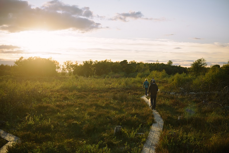
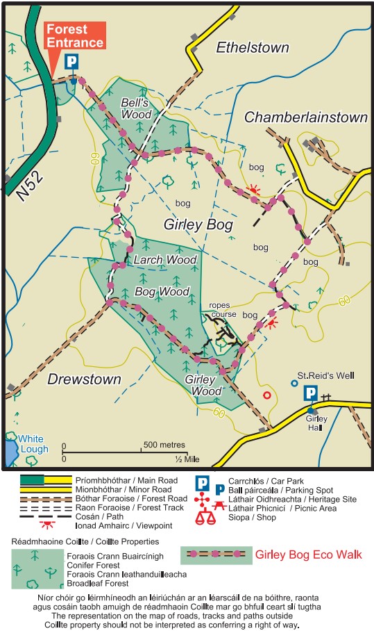
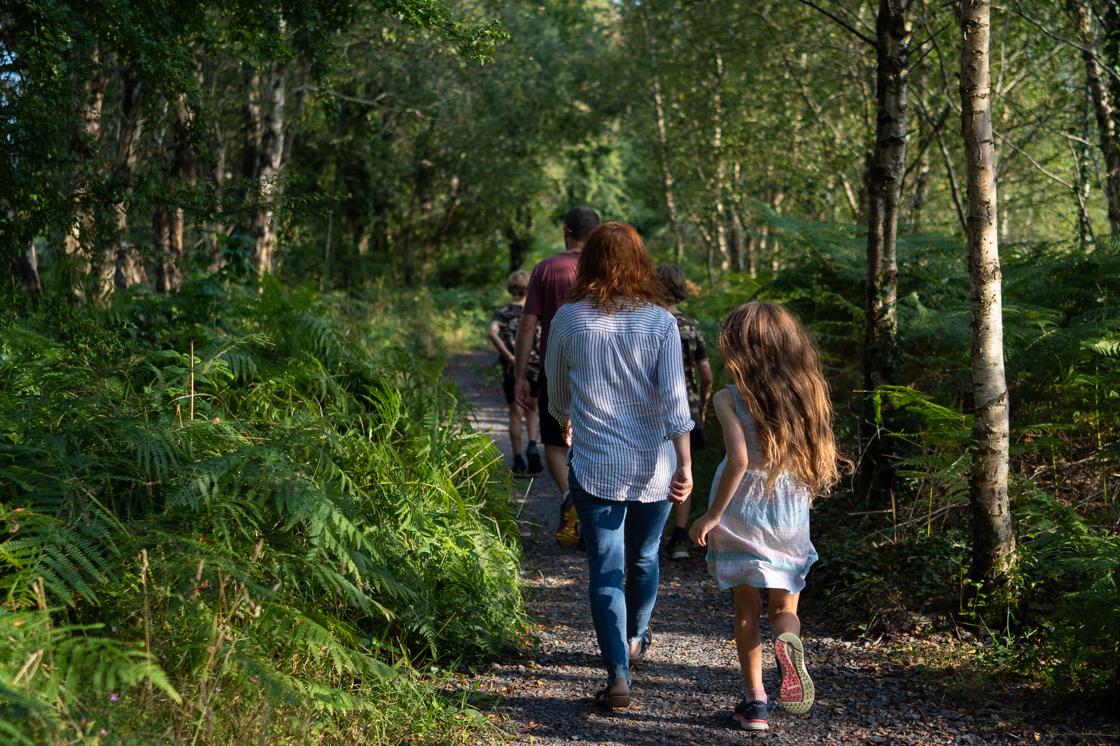
Girley Bog Eco Walk is a 3.5 miles/ 5.6 km waymarked National Loop.  It covers varying landscape of forest and bogland.  The terrain is flat and uneven and walking boots are recommended.  The first section of this looped walk takes you through a tranquil Coillte forest, where there is a coniferous forestry plantation located on high bog. 

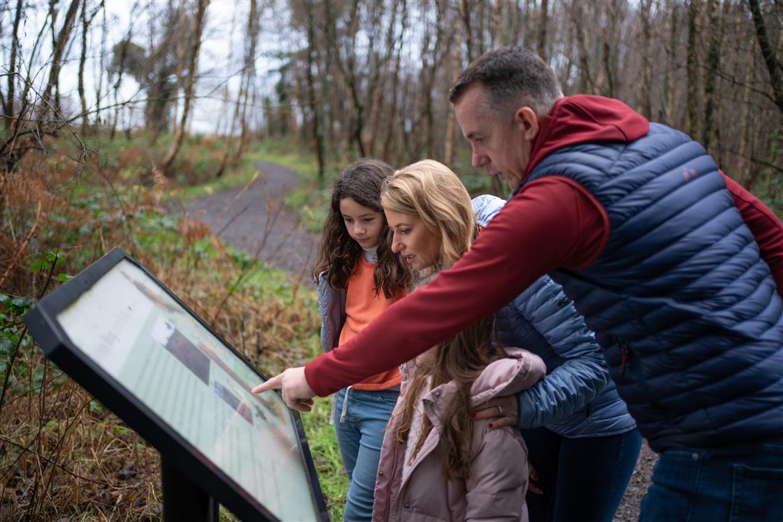
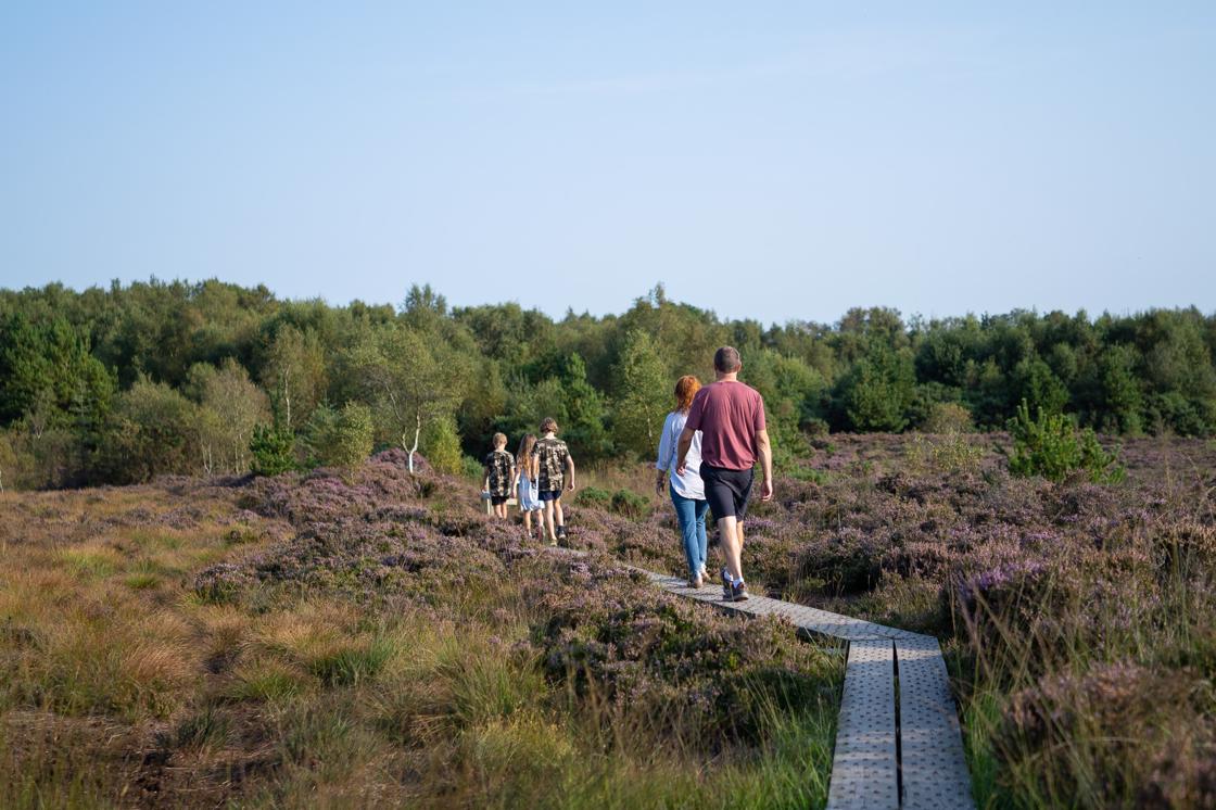
After this section, you will follow a forest track before entering Girley Bog, one of the few remaining raised bogs in County Meath.  Girley Bog is a site of considerable conservation significance, as it comprises of a raised bog, a rare habitat in the E.U. and one that is becoming increasingly scarce and under threat in Ireland. There is a wonderful variety of birdlife, plant and animal life and this is displayed through a number of interpretive panels along the walk.  Listen out for the birdsong as you walk.  The loop finishes with a walk along further country lanes before tracing your steps back to the carpark.

Girley Bog

Directions to Trailhead

Starting from the centre of Kells Town, take the N52 following the signs for Mullingar. On the outskirts of the town turn right – following the N52 for Mullingar. Continue to follow the N52 for approximately 7km. Turn left onto a forestry roadway and follow for approximately 100m to reach the trailhead. Note: The trailhead is signposted from Kells.

Girley Bog Map

Click here for a downloadable map

Forest and Scrub

Most of this walk is around the edge of the bog in areas of ‘cut over ‘ bog.  Stands of the Bracken fern invade first and later birch and willow trees form thick scrub.  When the turf is cut away and the area abandoned it is not long before scrub invades and takes over.  The natural scrub hosts a wide variety of birds, including migrant species, which come from Africa each Summer to raise their chicks. Listen out for the distinctive sounds of the Willow Warbler, chiff-chaff and blackcap along the walk.

Girley Bog Map

Plants and Animals of the Bog

The most obvious plant species on the bog is ling heather and in the wetter areas cross- leaved heath is also found.  However, there are a host of other species including hare’s tail cottongrass, cranberry and bog rosemary.  In the wettest part of the bog, there are several species of bog mosses.  These bog mosses can form dense cushions or hummocks.  Each species has a unique colour and together they can form a brilliant mosaic.  The Great Sundew can be found along the walk which is an insectivorus plant and gets is nutrients by ingesting insects that it traps in its sticky leaves.  Lichens can also be seen along this stretch of bog.  Watch out for snipe and skylark and if you look closely, you will see badgers, foxes and hares criss- cross the bog in feeding forays.

Girley Bog Woods

Human History

Throughout most of history Irish bogs were impassable. To cross the wet, boggy terrain people built bog roads or ‘toghers’. In the twentieth century, as the bogs were exploited for fuel, thousands of important archaeological finds have been made. The ‘bog finds’ include swords, gold jewellery, trumpets and even human bodies preserved by the acidic nature of the bog. Another interesting use of the bog was to keep butter cool during Summer. There have been many finds of butter in Irish bogs kept in wooden containers called ‘methers’.

Details

Ascent: 20m 
Distance: 6km 
Estimated Time: 1hrs 30mins -2hrs 
Grade: Easy 
Minimum Gear: Hiking boots, raingear and fluid 
Services: Kells (7.5km) 
Terrain: Bog roads, forestry tracks and woodland 
Theme: Nature 
Trailhead: Drewstown Woods, near Kells, Co Meath OS Sheet 42, N695 711